

Reference imagery
Topographical Surveying
Drone-based topographical surveys and precision mapping delivering high-accuracy data across large sites.
Reference imagery
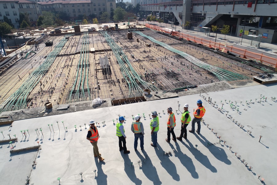
Progress Monitoring
Scheduled aerial flights and automated progress comparisons for up-to-date visual evidence of site advancement.

Reference imagery
Earthwork Analytics
Cut-fill calculations and volumetric measurements derived from drone-captured point clouds.
Reference imagery
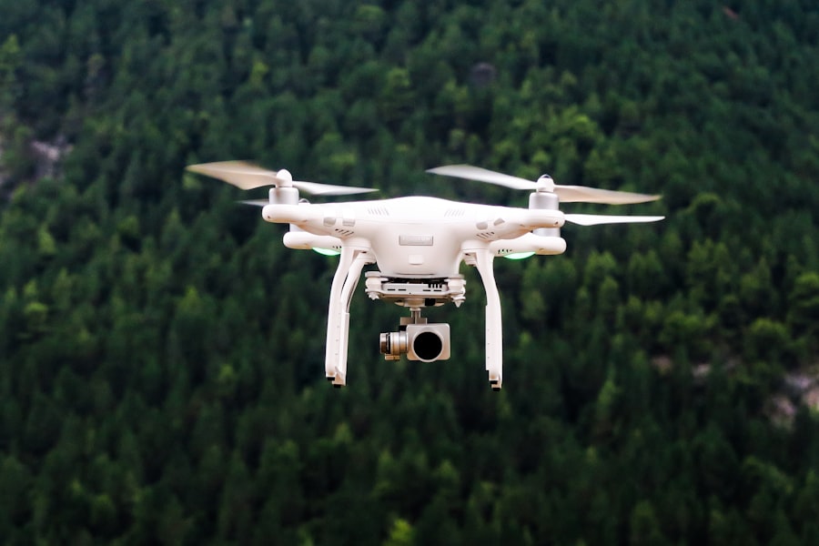
Inspection Services
Infrastructure condition assessment using high-resolution drone imagery for locations difficult to access.
Start a conversation
Have a Project in Mind?
Let's build smarter, safer and better infrastructure together.